Shreveport Mitigation Bank, LA
| Quick Facts |
| Location |
Bossier Parish, Louisiana |
| USACE District |
Vicksburg |
| Site Acres |
294 |
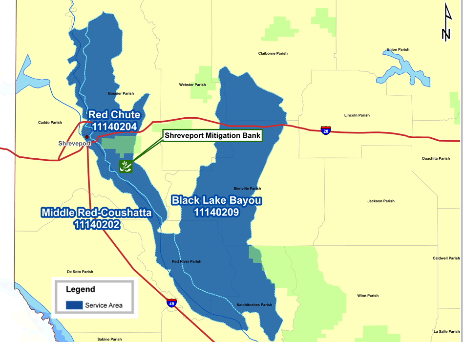
| Watersheds Serviced (HUC Cataloging Units) |
Middle Red-Chousetta (11140202)
Loggy Bayou (11140203)
Red Chute (11140204)
|
| EPA Ecoregions Serviced |
South Central Plains |
| Parishes or Portions of Parishes Serviced |
Bossier, Claiborne, Bienville, Caddo, Red River, Natchitoches and Winn |
| Available Wetland Habitat Types |
Bottomland Hardwood, Cypress-Tupelo |
| Available Mitigation Types |
Restoration, Enhancement, Riparian and Upland Buffer |
| Total Mitigation Acres |
294 |
| Current Mitigation Acres Available for Sale |
288 |
| Functional Assessment Method & Credit Value |
|
| 2002 Charleston Method |
Under Evaluation |
Click an image to view larger
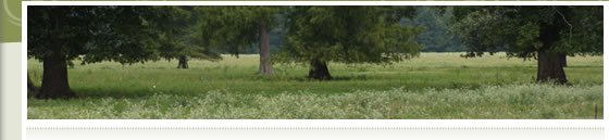
 The Shreveport Mitigation bank, located two miles south of Bossier City and Moon Lake and Bluff Bridge natural areas on the Barksdale Air Force Base, was once occupied by a large expanse of floodplain bottomland hardwood wetland periodically inundated by Red Chute Bayou. The Shreveport Mitigation bank, located two miles south of Bossier City and Moon Lake and Bluff Bridge natural areas on the Barksdale Air Force Base, was once occupied by a large expanse of floodplain bottomland hardwood wetland periodically inundated by Red Chute Bayou.
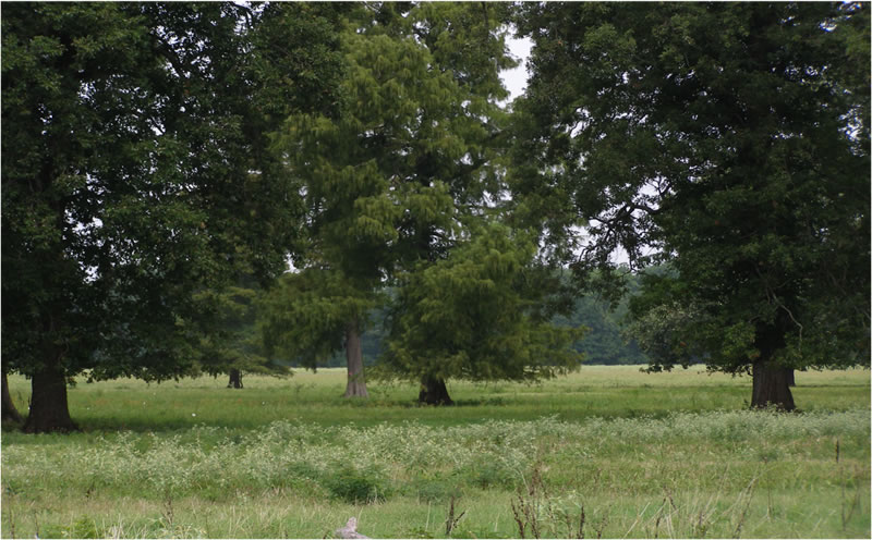
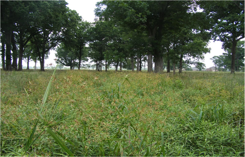
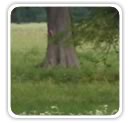
Today, it is one of the few remaining expanses of 100 year floodplain still connected to the Chute along the now highly altered, dredged and leveed bayou. The majority of the site was logged and converted to row-crop agriculture in the 1930s through ditching and draining and is now used as improved pasture. While over 90% of the site was logged, large remnant trees still remain on the property in the lowest lying areas.
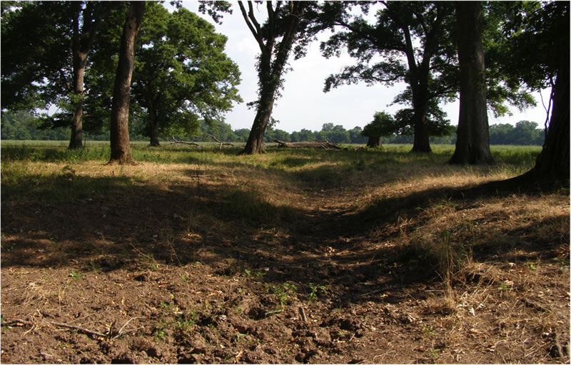
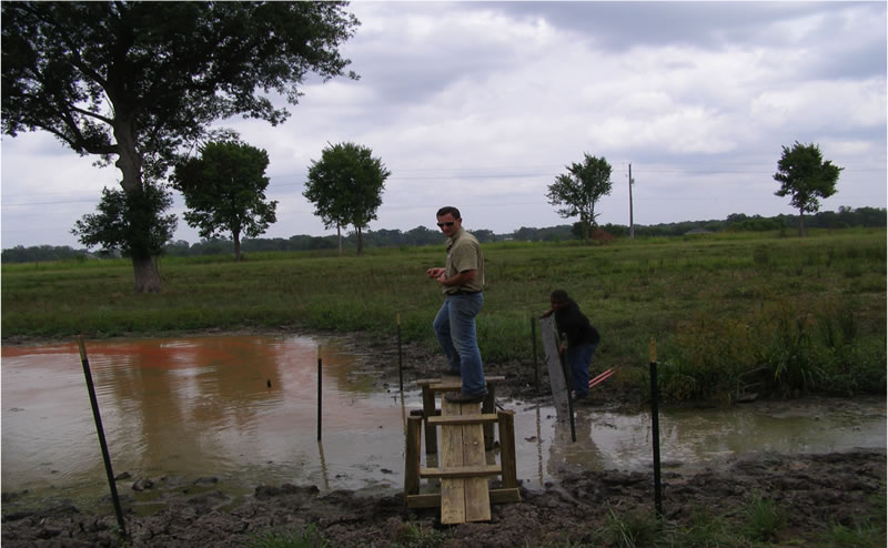
To convert this historic floodplain wetland area, a large, over 6 foot deep ditch was excavated through the property, with several side lateral ditches dug to facilitate drainage from the site directly into Red Chute Bayou. Aerial analysis indicates that the main drainage ditch was most likely excavated through portions of a much shallower perennial stream or drain that connected the depressional areas. Despite this drainage, several remnant depressional areas still persist to this day, with large, remnant specimens of between 50 and 100 year old cypress, overcup oak, sugarberry and nuttal oak trees. Several large isolated specimens of sweet pecan, eastern cottonwood, overcup oak and water oak also occur throughout the bank site. Wetland hydrology will be restored to the majority of the site by lateral ditch blocking and placement of water control structures within the main ditch.
|